This map shows the Slangenrode farm with its meadows (green) and farmland (green). The farm was located in the Lageweide area between the Huppeldijk and Lageweidsdijk in Utrecht. The map dates from 1718.
Although the catalog description does not tell us the purpose of the map, such maps are often created during court cases, for example to settle boundary disputes. You can also sometimes find them as part of estate management records of large landowners, for example map books of all the properties owned by a religious institution or noble family.
Such maps give us a wonderful glimpse into our ancestors’ lives. An orchard around the house would have provided fruit. The presence of meadows, two haystacks, and several barns or sheds suggests they raised cattle. The fields would have been used to grow different crops. A well in the yard provided fresh water.
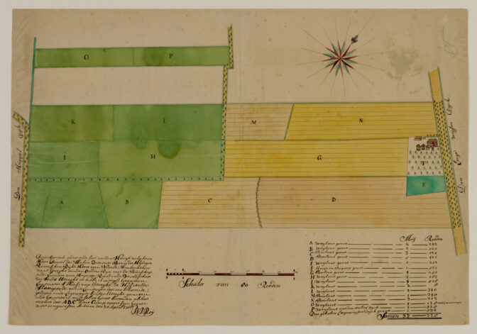
Map of the Slangenrode farm near Utrecht, 1718. Credits: catalog number 216531, Het Utrechts Archief (public domain)
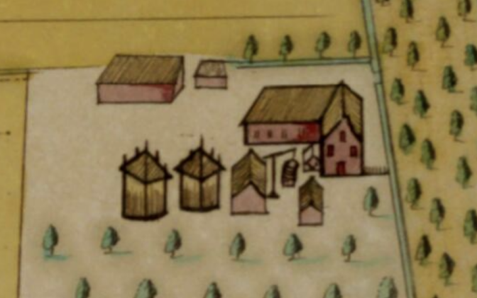
Slangenrode farm, detail.

")