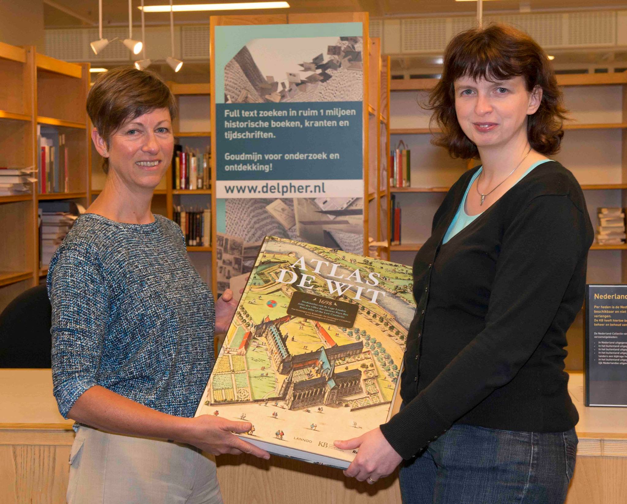
 Last year, I won a wonderful facsimile atlas in a contest by the Royal Library. I love maps and am a founding member of the study group for the history of cartography in my home town. When I saw that the Royal Library was giving away a copy of this atlas for the best tip on how to get the most out of their newspaper website Delpher, I did my best to submit an outside-the-box kind of tip to maximize my chances of winning and it worked 🙂
My tip? Search for common OCR errors.
I really enjoy the atlas and thought I would share my review with you.
Frederik de Wit
The atlas was created by Frederik de Wit (1630-1706), a famous engraver and publisher of maps. Frederik de Wit did not create maps himself, but he engraved the maps of others and published them in the form of atlases.
City atlas of the Low Countries
His most famous work is the City Atlas of the Low Countries, which appeared in 1698. Some of the plates that were used were over a century old, so the depiction of the towns was sometimes outdated. But this was not a 17th century Rand McNally or satnav that people used to navigate, this was a work of art, purchased by the rich merchants and nobles who wanted such a work for their libraries.
Here are some of the maps featured in the atlas:

Amsterdam
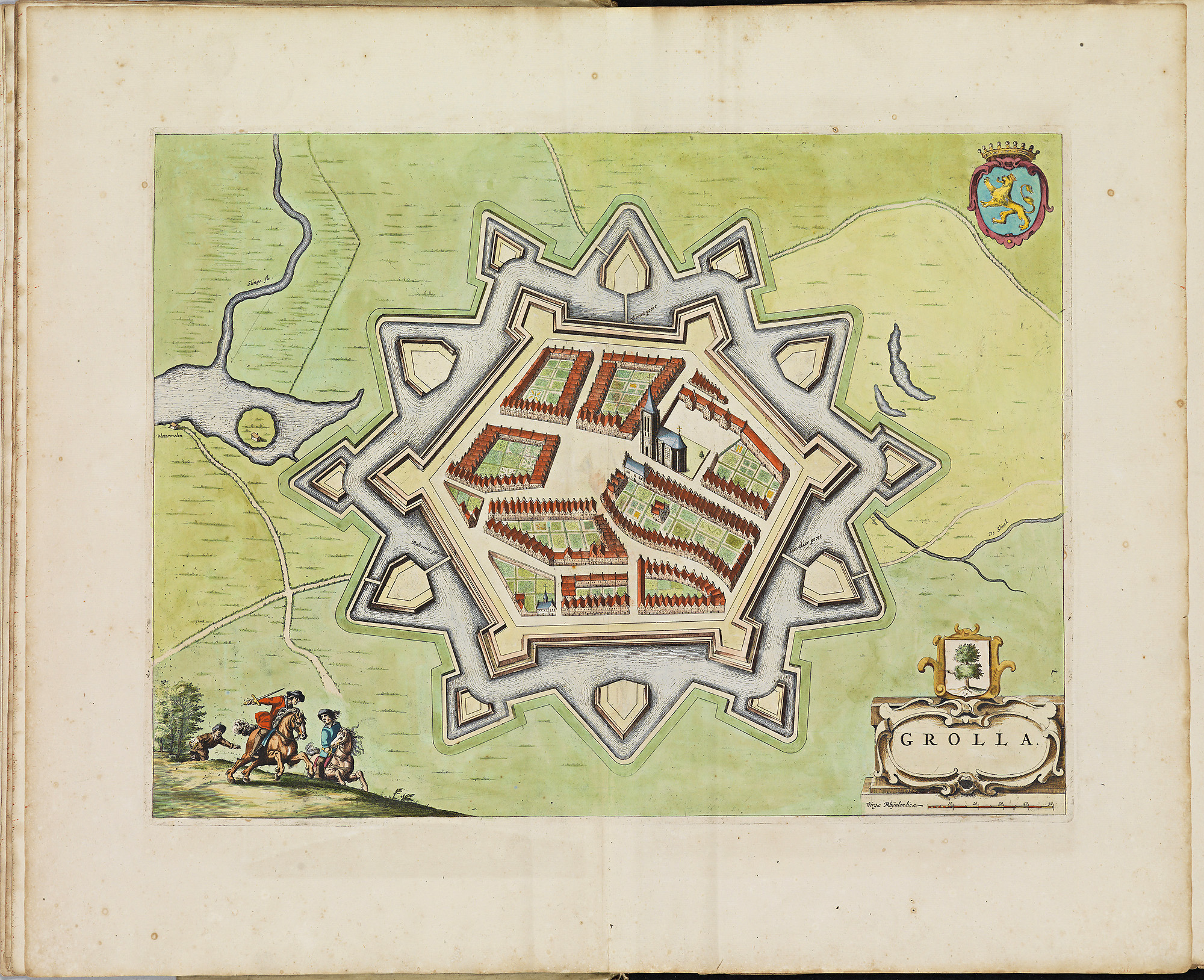
Groenlo
Facsimile edition
The facsimile edition was published by the Royal Library in 2012, reproduced from an original atlas in their collection. The book is just magnificent and features 185 maps of different cities in the Netherlands and Belgium, including Alkmaar, Amsterdam, Antwerp, Brussels, Ghent, Gouda, Leeuwarden, Leiden, Middelburg and Zwolle. Check the full list of cities to see if your ancestor’s city appears in the atlas. Not all the plates are maps, some are of important buildings or cityscapes, especially in Amsterdam.
At 14 x 21 x 2.6 inches and 15.6 pounds, this is definitely not a light read. The reproductions are gorgeous, often spanning two pages, all in full-color. You can see each scratch of the pen, each man on the wall, each speck of color on the roofs.
The accompanying text is also very helpful and available in Dutch, English and French. For the larger cities, the text explains the city’s history and development of the town plan and gives background information on the buildings or other features in the maps.
I highly recommend the atlas to anybody with Dutch ancestors, even if your ancestors aren’t from one of cities featured in the atlas. The maps are just stunning and reading about how cities developed and about the fortifications will give you a better understanding of how your ancestors lived. Needless to say, I’m very happy with my price!
Overall rating: 
Book details
Authors (introduction and accompanying text): Marieke van Delft and Peter van der Krogt
Title: Atlas De Wit: City Atlas of the Low Countries
ISBN: 978-9401401890
Publisher: Lannoo Publishers
Language: English/Dutch/French
The atlas can be purchased from Amazon. The link to Amazon is an affiliate link; if you choose to buy the atlas through a link on this page you will sponsor this free website and newsletter.

")