In 1659, the famous mapmaker Joan Blaeu published his world atlas Tooneel des Aardrycks [Display of the Realm of Earth]. The archives in Leiden have made their atlas available online.
This week we are looking at Blaeu’s map of the province of Utrecht. The map shows that its largest city was the same-named Utrecht. The map shows a great difference in geography in the east and west of the province. The east is higher, with more woods. The lower land in the west has been drained and turned into polders, as can be seen from the straight or circular lines. See the research guide for Utrecht for more information.
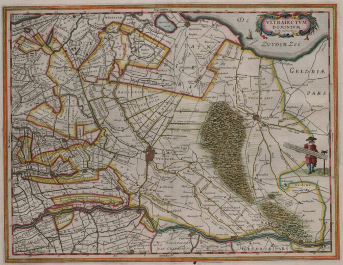
Map of the province of Utrecht, 1659. Credits: Joan Blaeu, imaged at Erfgoed Leiden (public domain)

")