I love to use old maps to see where my ancestors lived. One of the highlights in the history of cartography is the world atlas created by Willem Blaeu in 1662.
Erfgoed Leiden, the archives in Leiden, have digitized their Blaeu atlas. You can browse the atlas via Bladeren door Blaeu [Browse Blaeu]. Klik the pink button “Start met Bladeren” to browse the atlas.
You can filter by:
- album [volume]
- werelddeel [continent]
- land [country]
- plaats [town]
The names of the geographic locations are in Dutch. You can filter for Land – Nederland to get the maps of the Netherlands.
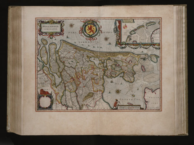
Map showing the provinces of Holland, Zeeland, and Utrecht, aligned with the north to the right (public domain)

")