
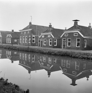
This week, we are looking at a map of the city of Groningen from 1895. The map shows the streets in the center, the cemetery outside the wawlls, and the surrounding countryside. An inset map displays the changes between 1863 and 1888, when the city walls were demolished and new streets created on the southside of the city. Groningen was one of many places in the Netherlands where the old fortifications and town walls were demolished in the second half of the nineteenth century. Improvements … [Read more...]
Map of the Week – Groningen, 1659
3 February 2025 by Leave a Comment

In 1659, the famous mapmaker Joan Blaeu published his world atlas Tooneel des Aardrycks [Display of the Realm of Earth]. The archives in Leiden have made their atlas available online. This week we are looking at Blaeu's map of the province of Groningen. It shows its largest city as the same-named Groningen ("Gronningen" on the map), connected to the North Sea by the Reitdiep. The map shows the roads and rivers that connected the smaller towns. See the research guide for Groningen for more … [Read more...]
Map of the week – Reclaimed land in North Groningen, 1685
1 July 2024 by Leave a Comment

This week's map shows us land that was reclaimed from the sea by building a dike in the north of the province of Groningen. This includes land in the parishes of Hornhuizen, Wierhuizen, Pieterburen, Westernieland, Saaxumhuizen, Den Andel, Breede, Warffum, Usquert, and Uithuizen. The map was created in 1685 and lists all the owners of the land. Maps like this can be a great source of information to learn about property owned by your ancestors. … [Read more...]
Ask Yvette: Resolving Conflicting Evidence in Early Civil Registration Records
25 April 2014 by 1 Comment
Since the introduction of the civil registration (in 1811 in most part of the Netherlands), everybody was supposed to have a fixed name. Everybody who did not have a surname, was required to take a name and have that recorded. The reality was not always so neat. Especially in regions where many people did not have surnames before 1811, like Friesland, Groningen, Overijssel and Gelderland, the same person may appear in civil registration records under different names. Willem Lucas de Jonge and … [Read more...]
Groningen
9 May 2005 by 43 Comments
Groningen is a province in the North-East of the Netherlands. On the east it borders on Germany, on the west on Friesland, on the south on Drenthe and on the north on the North Sea. The capital of Groningen is also called Groningen, sometimes called Groningen stad (Groningen city) to make the distinction clear. The largest towns in Groningen are: Groningen Hoogezand-Sappemeer Veendam Winschoten Delfzijl … [Read more...]

")