A verzamelplan is a type of cadastral map created in 1832 to show the different sections within a cadastral municipality, and the maps/sheets within each section.
See the article about Overview maps and minute maps for more information.
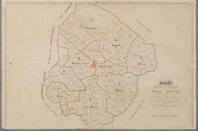
Overview map of Winterswijk, 1832

")